Blog posts for the 2025 WA360
Hatching a Plan for the Finish
From Point Roberts we had set off as a group: Trishkabob, Team Zunderdog, Team 5.1428, and me (Team Pandatrax). Four kayaks and five paddlers. We had landed on Patos Island, after a long open water crossing. At this point, we realized that we had a couple issues. The tides were at a point where you only had an ebb overnight and a flood through the day and it was like this for a few days. This meant that we would need to travel at night until we got down to about Deception Pass. This issue wasn’t bad by itself. The bigger issue was that we only had a day and a half of relatively calm weather before the westerlies started to get brutal across the Strait of Juan De Fuca. Due to these conditions, we decided that we would try to make a go for the finish, which was about 55 miles away, without setting up camp again. Adding the distance from Point Roberts, could we finish a Seventy48 at the end of the WA360?
Leaving Patos
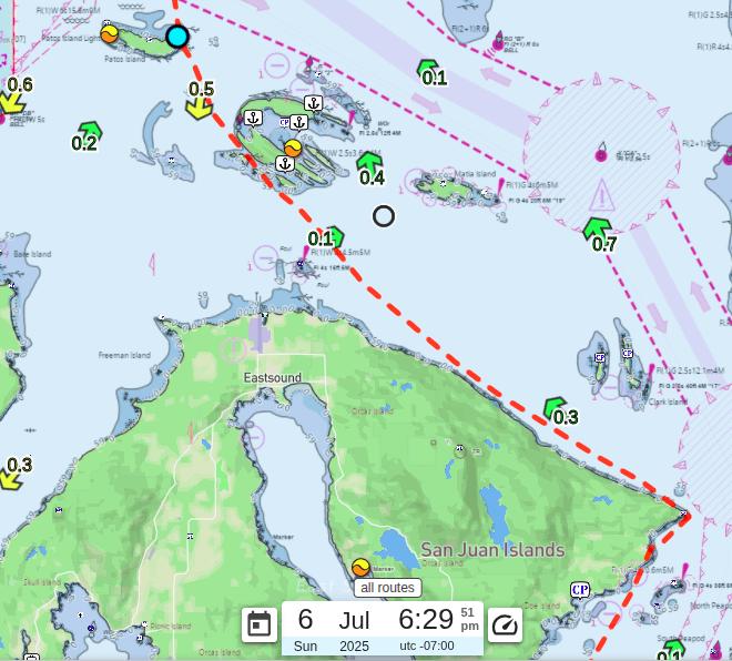
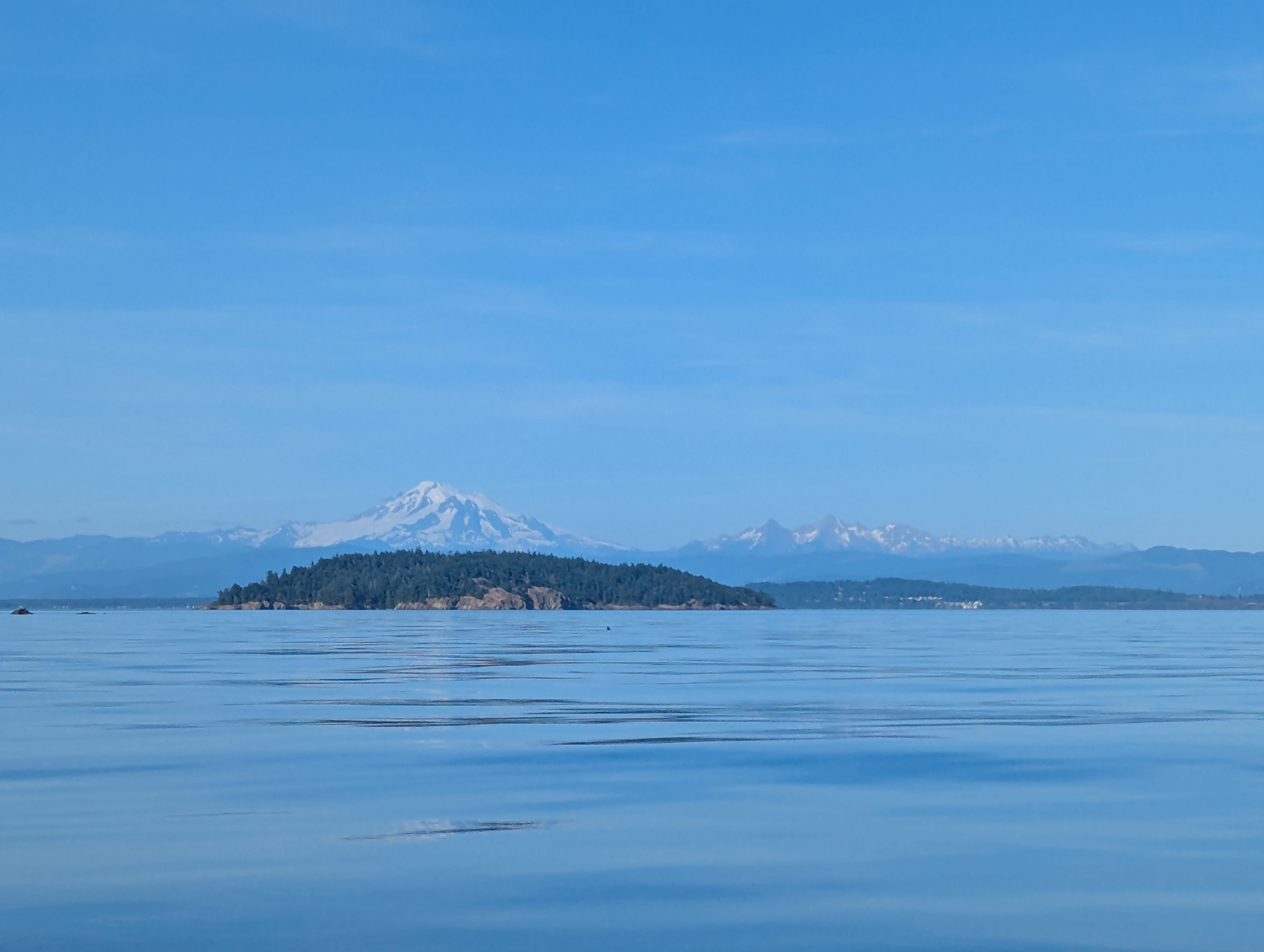
We decided to wait to leave Patos until 6:30 PM, when the current finally turned in our favor and started pushing us south. We set off by crossing over to Sucia Island, then threaded the narrow gap between Sucia and Little Sucia Island just because we thought it would be fun.
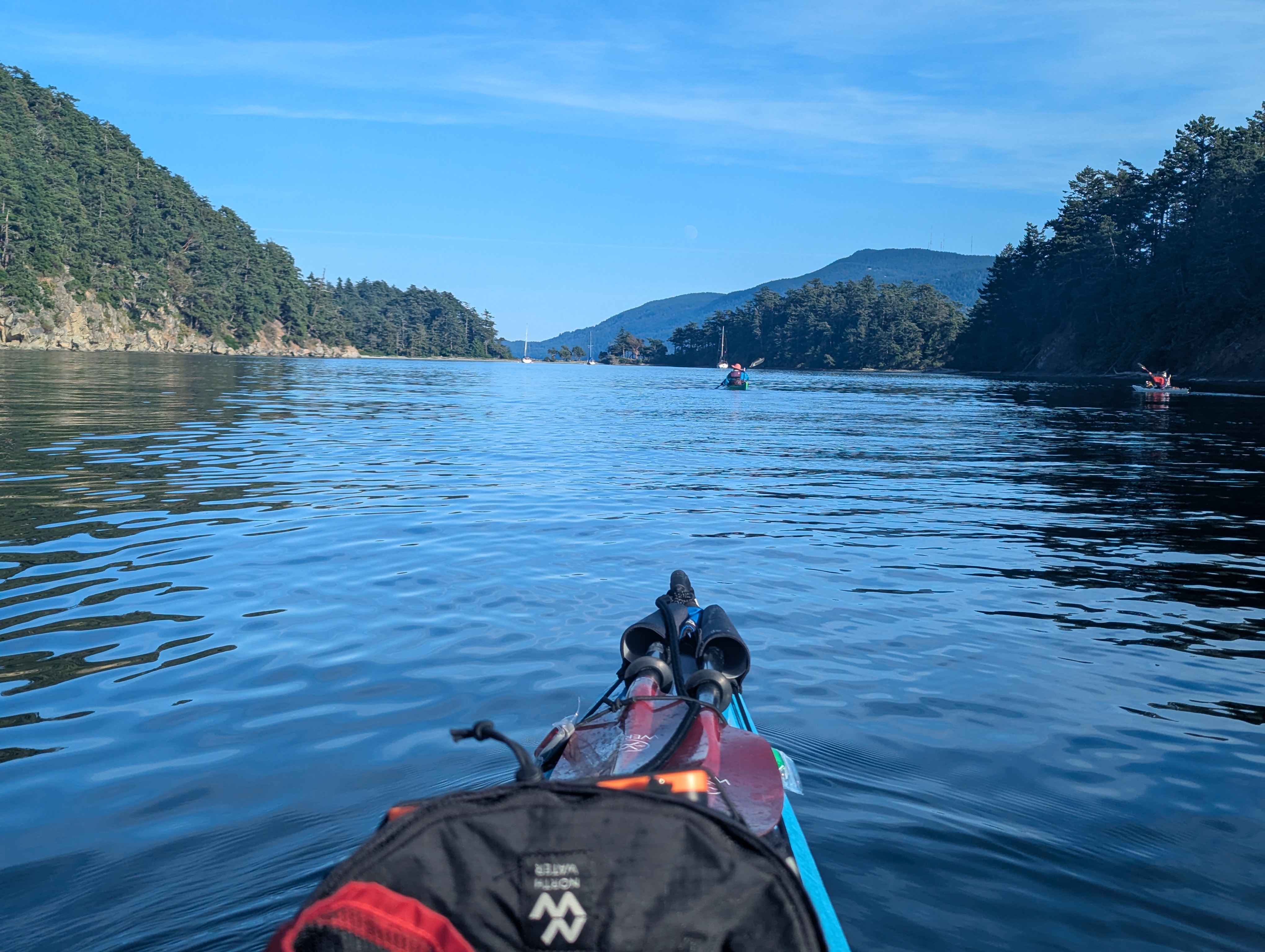
As we passed Sucia, I caught this great shot of Mount Baker standing behind Matia Island.
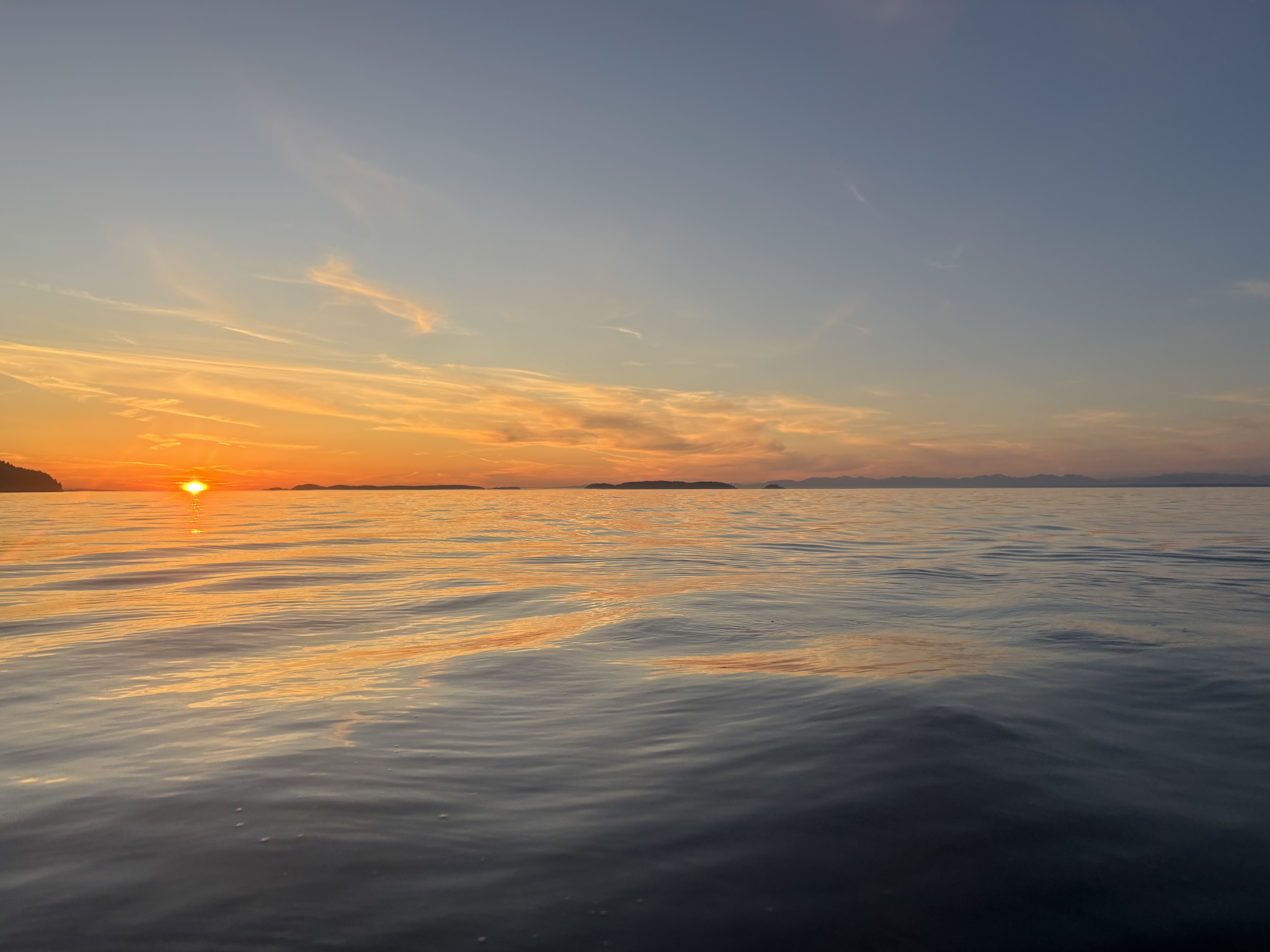
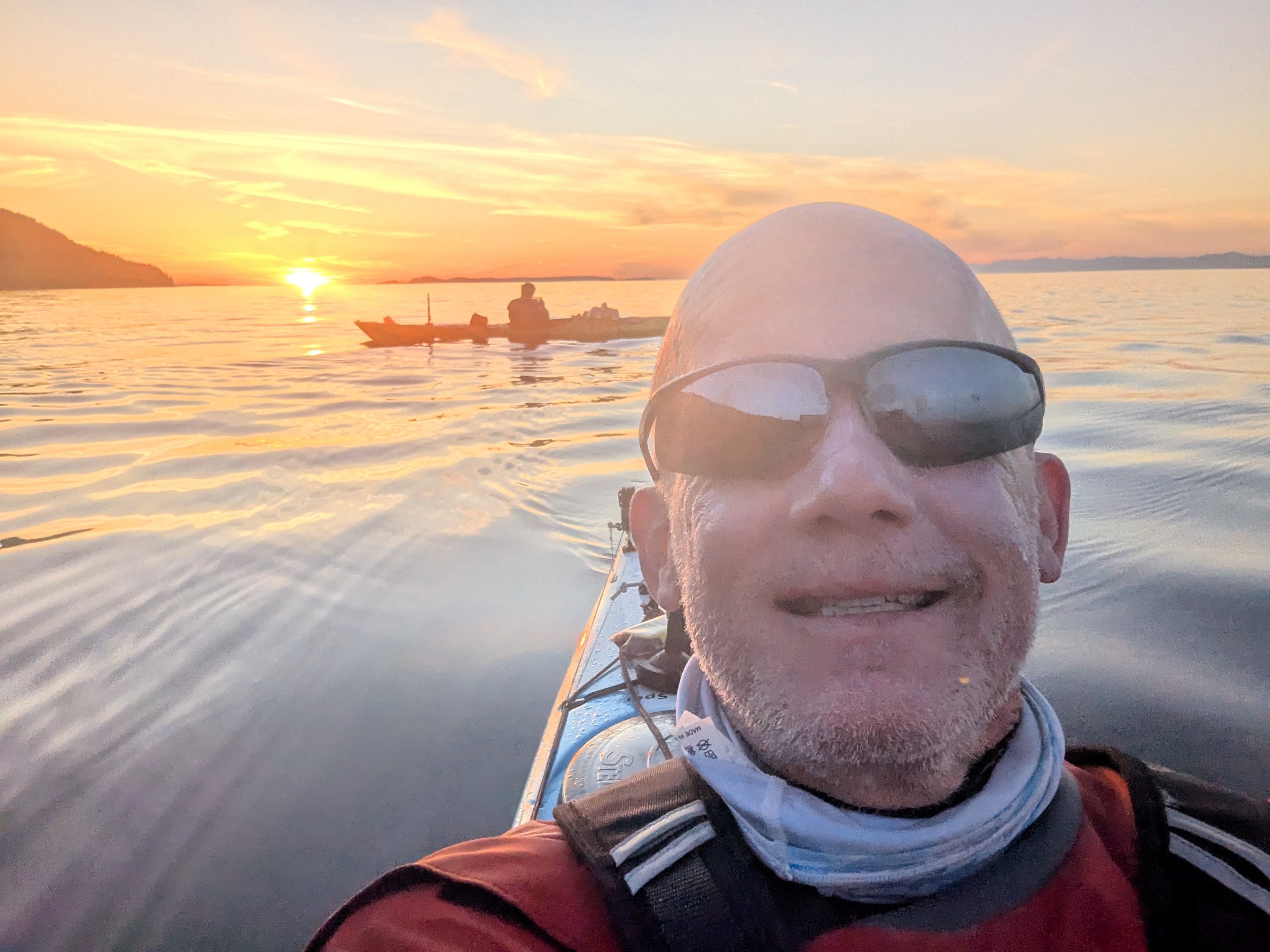
After passing Sucia, we crossed over to Orcas Island and kept heading east along its north shore. We reached Lawrence Point, the easternmost point on Orcas, at about 9:45. Right before we got there, we were treated to the best sunset of the whole race lighting up the sky behind us.
The Night Paddle to Allan Island
Up until Lawrence Point, the water was calm and the weather was nice, all blue skies. As we rounded the point, we started hitting wind blowing from the south, with the waves picking up and the sky getting dark. We battled the waves and wind until about 10:30 PM, when we decided to pull up to a dock at Sea Acres to get warmer gear on. The sky was pitch black and the temperature had dropped quite a bit. Luckily, by the time we were back on the water, the wind started to die down.
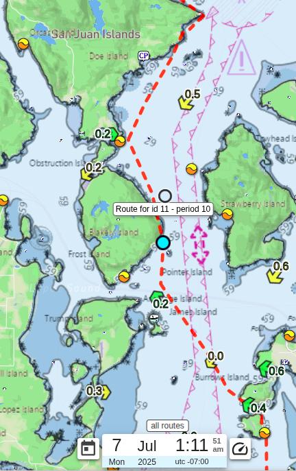
As we paddled down the east coast of Orcas, it was so dark and hard to judge where land actually was. We could only see black outlines of the islands and had to rely a lot on GPS. We rounded the east side of Blakely Island around 1 AM and could see the faint outline of James Island. As we got closer to James, we decided to cross the shipping channel and head to Burrows Island. We started crossing a little after 2 AM, and it took us about 3:15AM, by the time we reached Burrows. Having a chance to get out of our boats and stretch felt great. As we left Burrows behind us and rounded Allan Island, the sky started to brighten up.
Fog, Waves and a kayaker in the water
It was about 5:30 AM as we passed Deception Pass, with the sun rising over the Deception Pass Bridge. There were waves, but nothing bad at all. Then we spotted fog off in the distance to the south, and it was coming at us fast. Before we knew it, we were surrounded by it and could barely see 200 feet, about ten boat lengths.
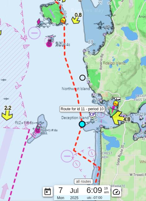
As the fog slammed into us, we were greeted with terrible waves. They seemed to be coming from every direction. We all turned east to get to shore, and that is when Team Zunderdog capsized.
He was in the water holding onto his boat. We were about half a mile from shore when it started. With the waves, he could not get it back upright and climb in. I started struggling to make my way over to him, and in the chaos we got separated from Teams Trishkabob and 5.1428. I tried several times to reach him but kept getting beaten away by the waves. Finally I got to him and his boat, all while talking to the Coast Guard on my radio.
It took a few tries to get his boat back upright and him back in it. His boat was so heavy, and rolling it upright with the waves beating on us was brutal. Finally he was back in his boat, and I let the Coast Guard know he was back in. They asked if he was dry and needed medical attention. As I assessed the situation, I could see his cockpit was still full of water and he was actively pumping it out, so I figured he was dry enough. I asked him if he needed medical attention and he said he didn’t, so I updated the Coast Guard that he was fine and thanked them. With that sorted, we started paddling east on our compasses, since the fog was still super thick. By now the current had pulled us out to about a mile from shore, and there was no way we would have made it back without him in his boat.
When we finally reached shore, the current had dragged us a mile south along the shore of where it all started, but also pushing us an extra half mile away from shore as well. As we climbed out of our boats, the fog disappeared and the waves went with it. Once I knew he was safe, I radioed Teams Trishkabob and 5.1428 to make sure they were okay, then called the Race Boss to let him know what had happened. Northwest Maritime wrote up that stretch in their Monday: Miles, Misery, Mutual Aid update.
Down Whidbey and Across the Sound
Team Zunderdog and I told Teams Trishkabob and 5.1428 that we would keep paddling slowly down the west side of Whidbey Island so they could catch up. We wanted to make the final crossing to Port Townsend together. Zunderdog pulled ahead as we passed Naval Air Station Whidbey Island, and then I heard the national anthem and “To the Colors” playing across the base. The timing felt amazing, almost like they were playing it for me as I paddled by at 8 AM. Of course, it was just a coincidence. Soon after the base, Trishkabob and 5.1428 caught up with us.
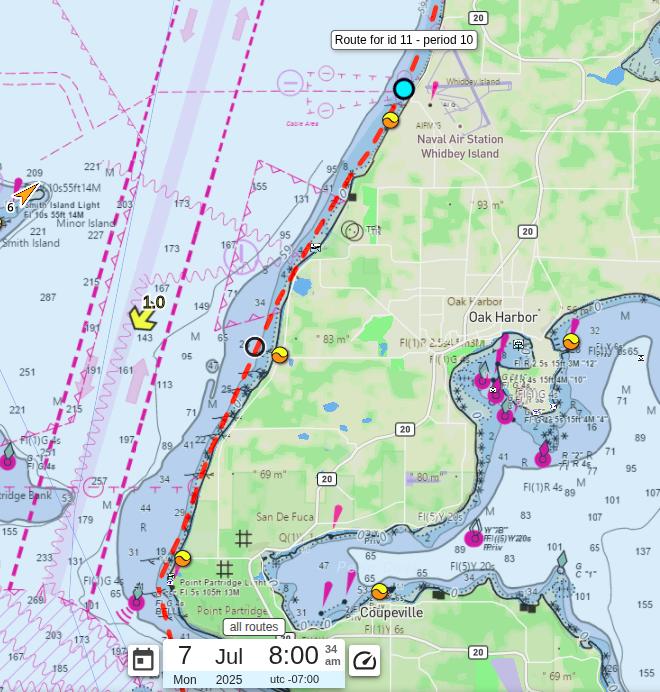
As a group, we decided to cross the Sound from Fort Ebey State Park and finish together. Before we got there, Zunderdog paddled ahead, leaving Trishkabob, 5.1428, and me for the crossing. The waves were tall but slow and spread apart, so it felt a little like riding a gentle roller coaster. We started our final open water crossing.
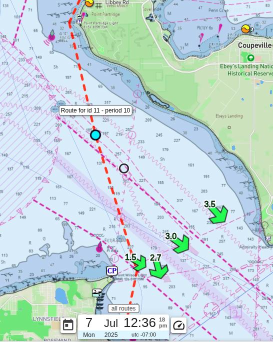
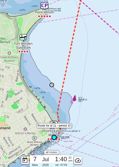
As we approached Fort Worden, the water changed completely. We had benefited from a strong southbound current in the main channel, but Trishkabob and I crossed too far and got caught in a strong back eddy between the fort and the finish line. Team 5.1428 seemed to get catapulted straight toward the finish. Trishkabob eventually paddled free and caught up with them, but I was stuck fighting the eddy alone. To my great joy, both teams waited not far from the finish while I worked my way out and finally caught up.
The Finish
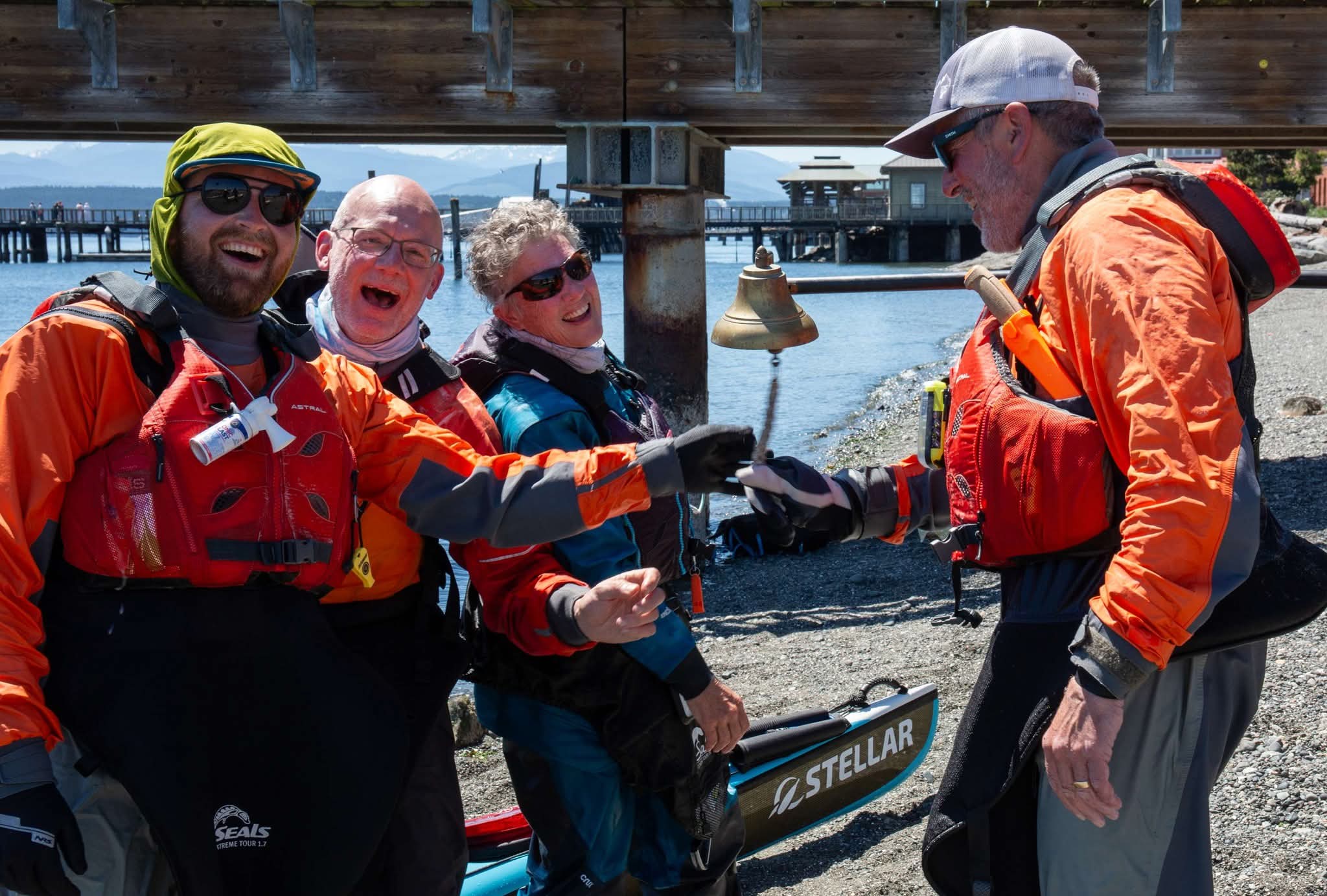
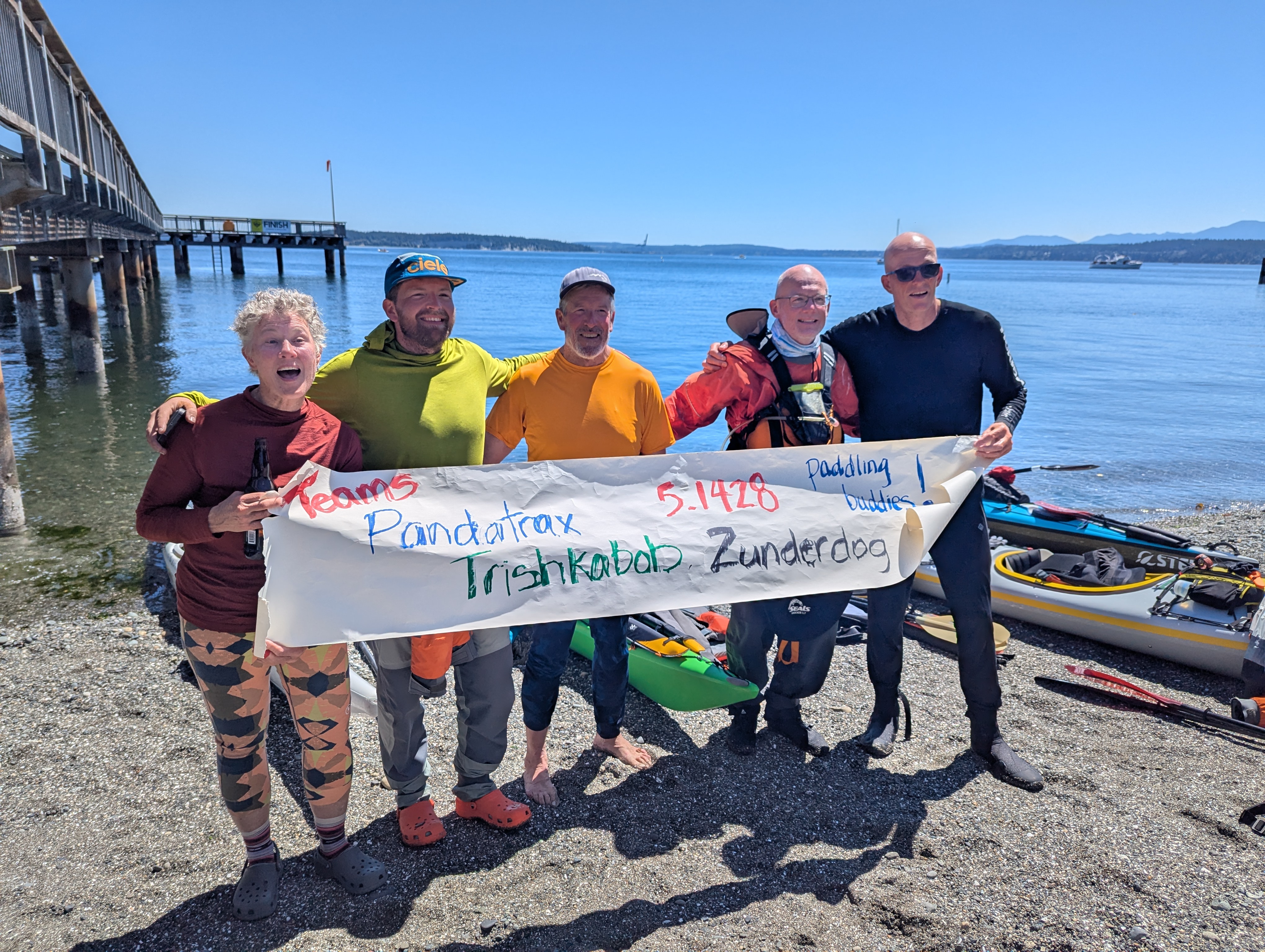
Teams Trishkabob and 5.1428 and I all pulled into the finish together in Port Townsend. The Race Boss, Jesse, was there to welcome us all home.
It was amazing to see Mary, my daughter Brenna, and my great paddling friend Jim, who races the Seventy48 as well, at the finish. It brought tears to my eyes to see them all cheering for us.
Northwest Maritime caught us coming in on their Day 10 daily update, where I told them I had the greatest time and was somehow less wrecked than after a Seventy48.